Iam Justinvortexnode.hashnode.dev·Dec 14, 2024Discover the Power of Photo GeolocationIntroduction Every photo has a story, and some photos carry hidden clues about their origins. This fascinating capability, known as photo geolocation, uses embedded GPS data to pinpoint where a picture was taken. From reliving travel memories to addi...photolocation
Elisha Bereelishacodes.com·Oct 26, 2024Building an Aerial Crop Monitoring System with Raspberry Pi, NoIR Picamera and u-blox GPS: A Guide to DIY Precision AgricultureIn precision agriculture, monitoring crop health from an aerial perspective is invaluable. This project walks through building a compact aerial crop monitoring system using a Raspberry Pi Zero 2 W, u-blox NEO-6M GPS module, and NoIR Picamera. With th...80 readsRaspberry Pi
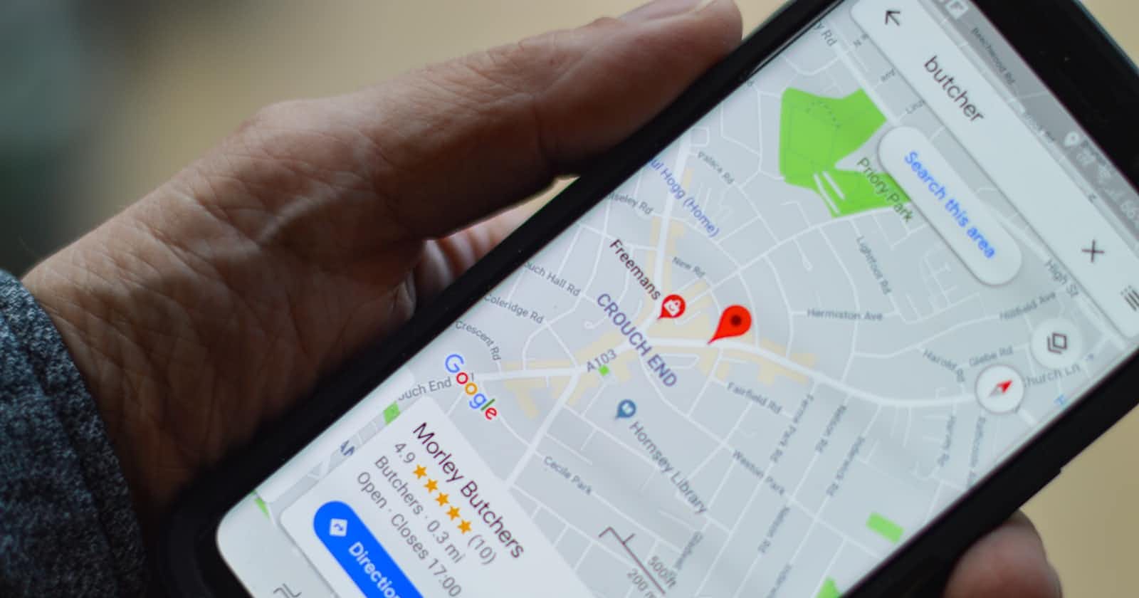
Olubunmi Alegbeleyeolubunmialegbeleye.hashnode.dev·Jul 15, 2024Location - the Android 14 (maybe 15 too) wayIntroduction Location awareness is becoming an essential part of many successful mobile applications. Whether you're building a fitness tracker, a navigation app, a ride-sharing app, a weather app, an augmented reality experience or a service that co...Android
Christopher Duranchriisduran.hashnode.dev·Jul 11, 2024Destiny or Coincidence: Based on Shannon Perry´s Experiment.Background I often read Xataka to stay updated on the latest technological developments and news. One thing that i readed and has intrigued me the most is Shannon Perry 's experiment - a data analyst who used location data from her and her boyfriend’...Free Projects 🆓chriisduran
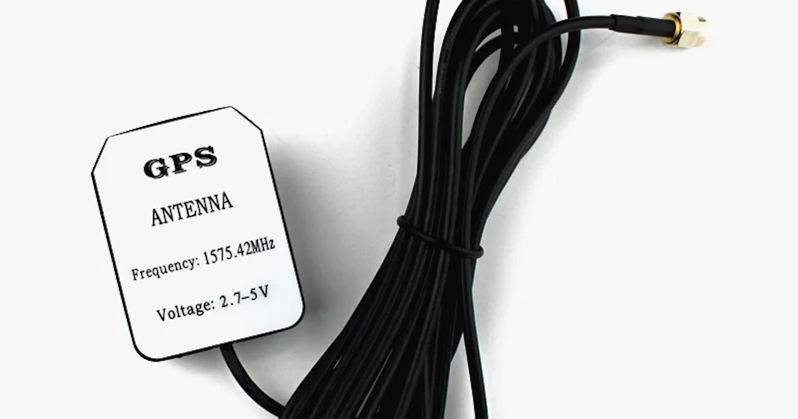
Hankyu Kimhankyukim.hashnode.dev·Jun 3, 2024What's the different between active GPS and passive GPS?𝐀𝐜𝐭𝐢𝐯𝐞 𝐆𝐏𝐒 🔊 Active GPS receives and amplifies the GPS signal it receives from satellites by sending power to the attached GPS antenna. Active GPS devices will always have a SMA GPS port for an external antenna, which allows for the ampl...gps
SRFS Teleinfrasrfsteleinfra.hashnode.dev·Feb 14, 2024A Guide to Installing a GPS Antenna: Ensuring Optimal PerformanceGPS (Global Positioning System) antennas are integral components in navigation systems, enabling devices to receive signals from satellites to determine accurate position, velocity, and time information. Whether for vehicle navigation, marine applica...gps antenna
Daniel Bugingodanielbugingo.hashnode.dev·Jan 11, 2024Navigating Cartography: 5 Essential Map Elements of a mapFun fact: Maps can sometimes have 'trap streets'—fake or non-existent streets added by cartographers as a form of copyright protection. If another map includes the same fake street, it suggests they copied the original map! Introduction A map, as pe...Elements of a good map
Animesh PathakforKeploy Community Blogkeploy.hashnode.dev·Nov 27, 2023Why I Love End-to-End (E2E) TestingI want to talk about something that has become near and dear to my heart in the software development world: End-to-End (E2E) testing. Trust me; it's more exciting than it sounds. So, grab a coffee, relax, and let's dive into why E2E testing is often ...Testing
Manimanikandan098.hashnode.dev·Oct 27, 2023Architecting an IoT-Based SaaS Fuel Monitoring System: A Developer's Guide.In this developer's guide, we'll dive deep into the technical aspects of building an IoT-based SaaS fuel monitoring system. Whether you're working on a fuel tracking system, vehicle fuel tracking system, truck fuel monitoring system, or real-time fue...gps
Pratik MforOmniGuruomniguru.net·Oct 23, 2023Marble: Open-Source Alternative to Google Earth for Linux UsersFor Linux users seeking an immersive mapping experience similar to Google Earth, without sacrificing privacy, Marble delivers expansive digital globes, views, and innovative features for planning journeys across the planet and into outer space. This ...110 readsLinuxgps