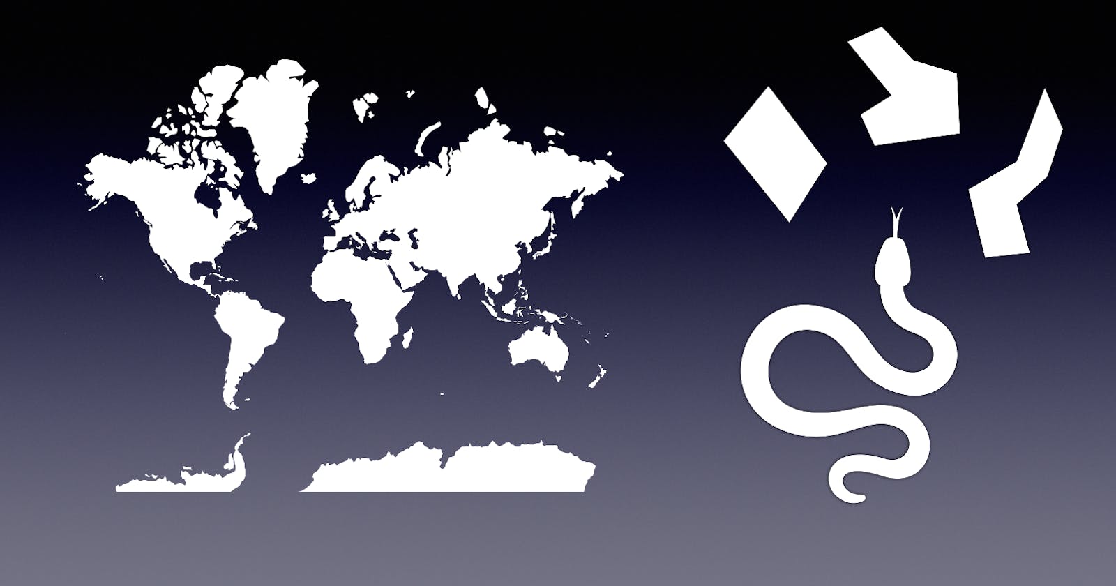
Sebastiano FerrarisforGeospatial Data Sciencegeods.hashnode.dev·Oct 2, 2022Using polygons in geospatial data science, part 1Github link In this article, the first of a series of three, you will find a few facts and examples about an ubiquitous object lying at the very foundation of geospatial data science: nothing less than the polygon! Wether used to segment raster data,...77 readspolygonsAdd a thoughtful commentNo comments yetBe the first to start the conversation.