Creating Interactive Maps with Folium and Python
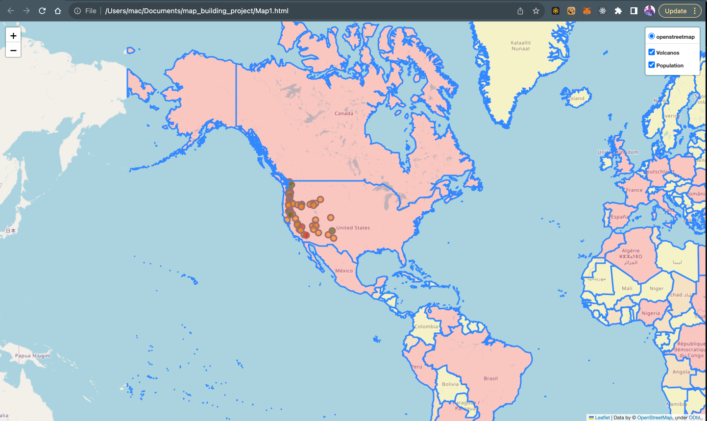
Creating engaging, interactive visualizations can greatly enhance the understanding and impact of data. An interactive map is one of the most effective visualization methods for geospatial data. Maps provide inherent context and allow intuitive explo...
Responses
Markdown supported · ⌘↵ to post
No responses yet.