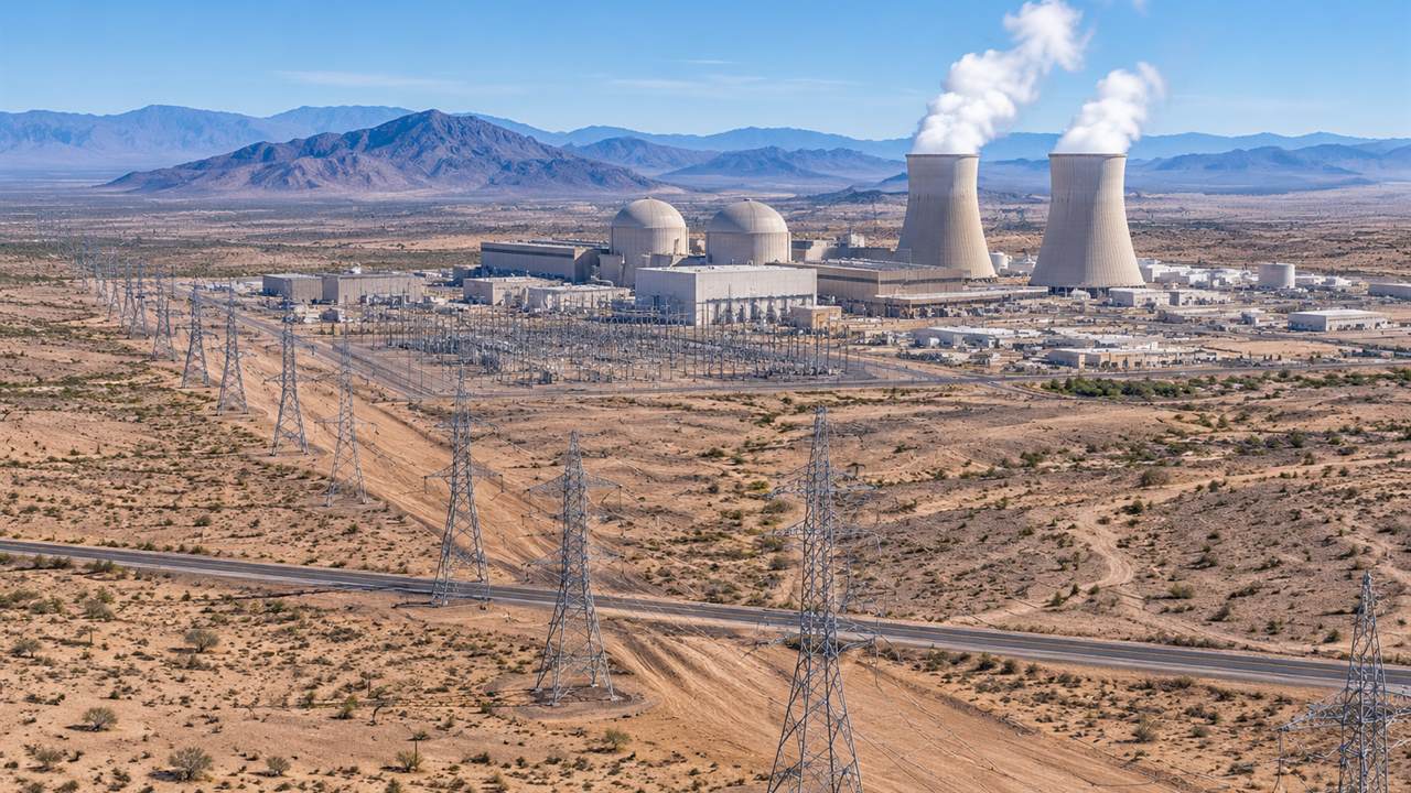
Palo Verde in 3D: A Practical Workflow for Modeling a Desert Nuclear Site
Most 3D site models start with a survey, a drone flight, or a pile of CAD files. This one started with a rectangle on a map. I wanted to understand how a large desert nuclear site is put together with
Written by
Responses
Markdown supported · ⌘↵ to post
No responses yet.