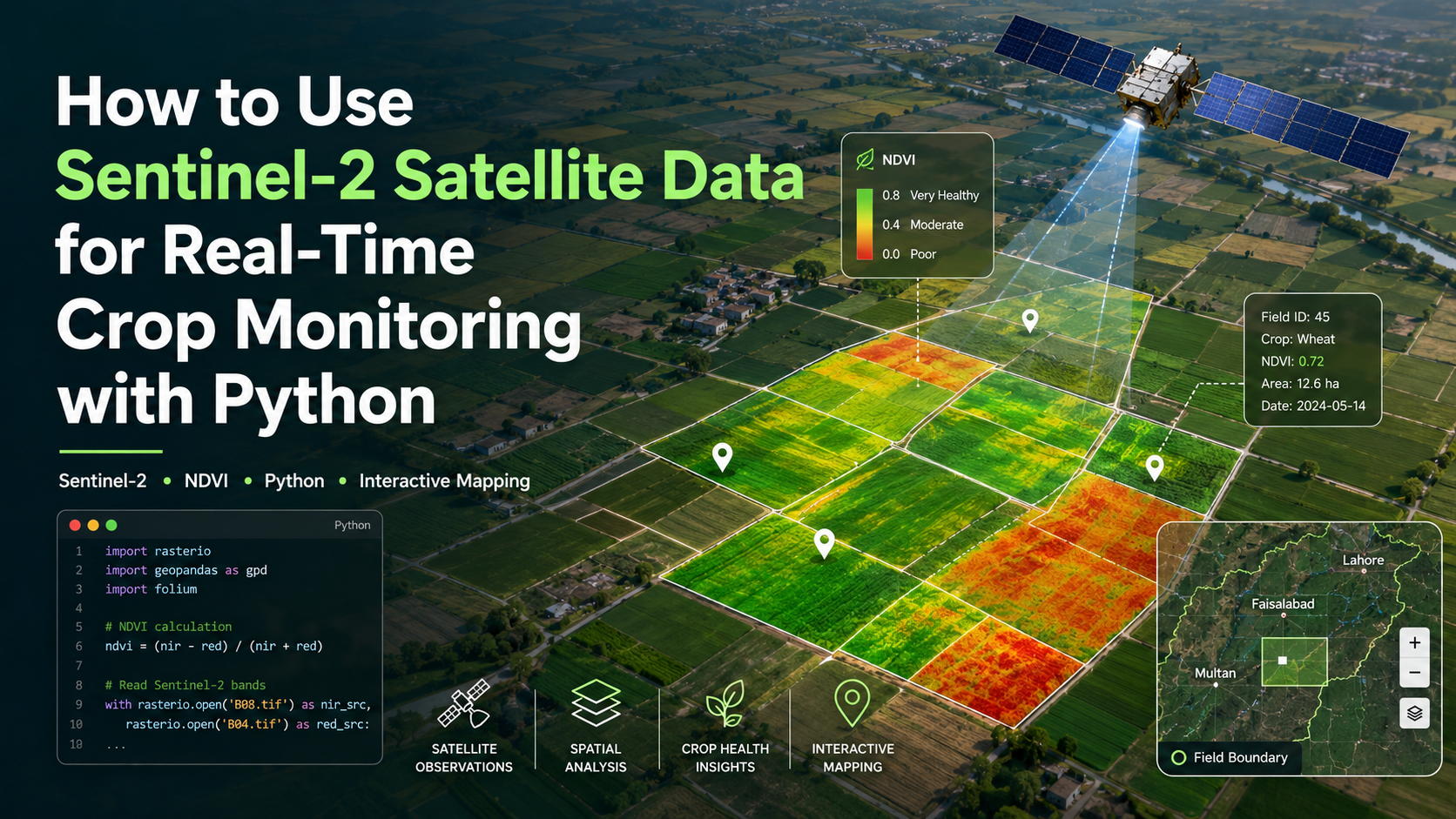
ZZam Zam Satellites·Aug 21How to Use Sentinel-2 Satellite Data for Real-Time Crop Monitoring with PythonMonitor crop health with Sentinel-2 and Python. Learn to download L2A data, calculate NDVI, and map fields interactively.16 min read·zamzamgeospatialhashnodedev.hashnode.dev